This is the first post in a three-stream series that is more fully explained here. I hope you enjoy it. The Wood and Structure streams will contain few if any words. The Churches stream will have some accompanying text.


Words and photographs from North Hertfordshire
This is the first post in a three-stream series that is more fully explained here. I hope you enjoy it. The Wood and Structure streams will contain few if any words. The Churches stream will have some accompanying text.

Hertfordshire has 159 places with Green in their name, says Lee Prosser in An Historical Atlas of Hertfordshire (University of Hertfordshire Press, 2011) and around one third are mentioned before 1500. Tom Williamson (The Origins of Hertfordshire, University of Hertfordshire Press, 2010, pp231-233) says many developed in the 12th and 13th centuries from isolated farmsteads, although some bear pre-Norman conquest names. They are primarily found on higher ground, the term ‘green’ distinguishing the cleared area from the once surrounding woodland. Some place names appear to duplicate the distinction by including derivations of the Old English word leah, which means a clearing in the woods – Shilley Green.
That 159 might be open to challenge, though I admit I haven’t tried my own count. The Ordnance Survey suggests Upper Green is a distinct place but it seems to me it is actually the upper of two village greens in Tewin – in fact, local signage identifies another green that Upper Green stands above. On the other hand, Redcoats Green has its own signpost but the OS omits Green from the name.

Today some are a just a place name. Wateringplace Green is a ruined cottage, a scattering of ancient oaks and ponds. Sedge Green is where three country lanes meet. Others continue as hamlets, postcard pretty with thatched cottages and cricket pitches and country pubs – Southern Green, Ley Green – while the expanses of grassland at the heart of Roe Green or Moor Green hark back to the common grazing around which the settlements rose. Then there are those that are enclosed and absorbed by Stevenage, like Pin Green and Symond’s Green. Norton Green is currently still freestanding because the A1M separates it from the sprawl though the thunder and fumes of the traffic are a price to pay.
During the (first?) 2020 corona virus lock down, my Jack Russell and I walked around and between several dozen greens in Hertfordshire and a few that fall inside Bedfordshire or Essex. The idea was to try to take at least one half-decent photograph at each place. Some are of the place – you can recognise it from the picture. But I didn’t want to gazette chocolate box houses and end up with a collection of tourist board pictures, so the prettiest places were often the ones where I found it difficult to find a distinctive subject. So, many of my photos are not identifiably of the place but from it or about it. Almost all of the pictures featured were taken during the lock down but a few pre or post date it. The shot of Bassus Green above is from 2017. Sadly, two of the ancient trees have since fallen. The pictures are all monochrome. I retain copyright on them but get in touch through the Contact page if you want to use one.
This is the final post in the Hertfordshire Greens series. And it’s a return to where we started. The photo heading the introductory page (reproduced as the post previous to this) was taken in 2017 – the only photo not taken this year. It showed three oak tree skeletons against a background view from the road between Bassus Green and Clay End, looking over the valley of the Beane towards Walkern.
Today, the panorama is denuded. Two of the skeletons have tumbled. How long will the survivor last? A little outside of the frame of that shot stands another skeleton and one living ancient oak that has a good few years left in it. But it is sad that nothing is growing to replace the old monsters that were likely maturing when the county was wracked by civil war. Some old oaks remain in nearby hedges and woods.
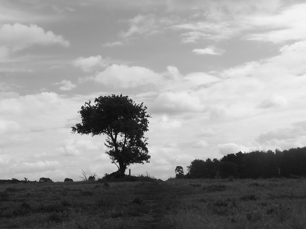
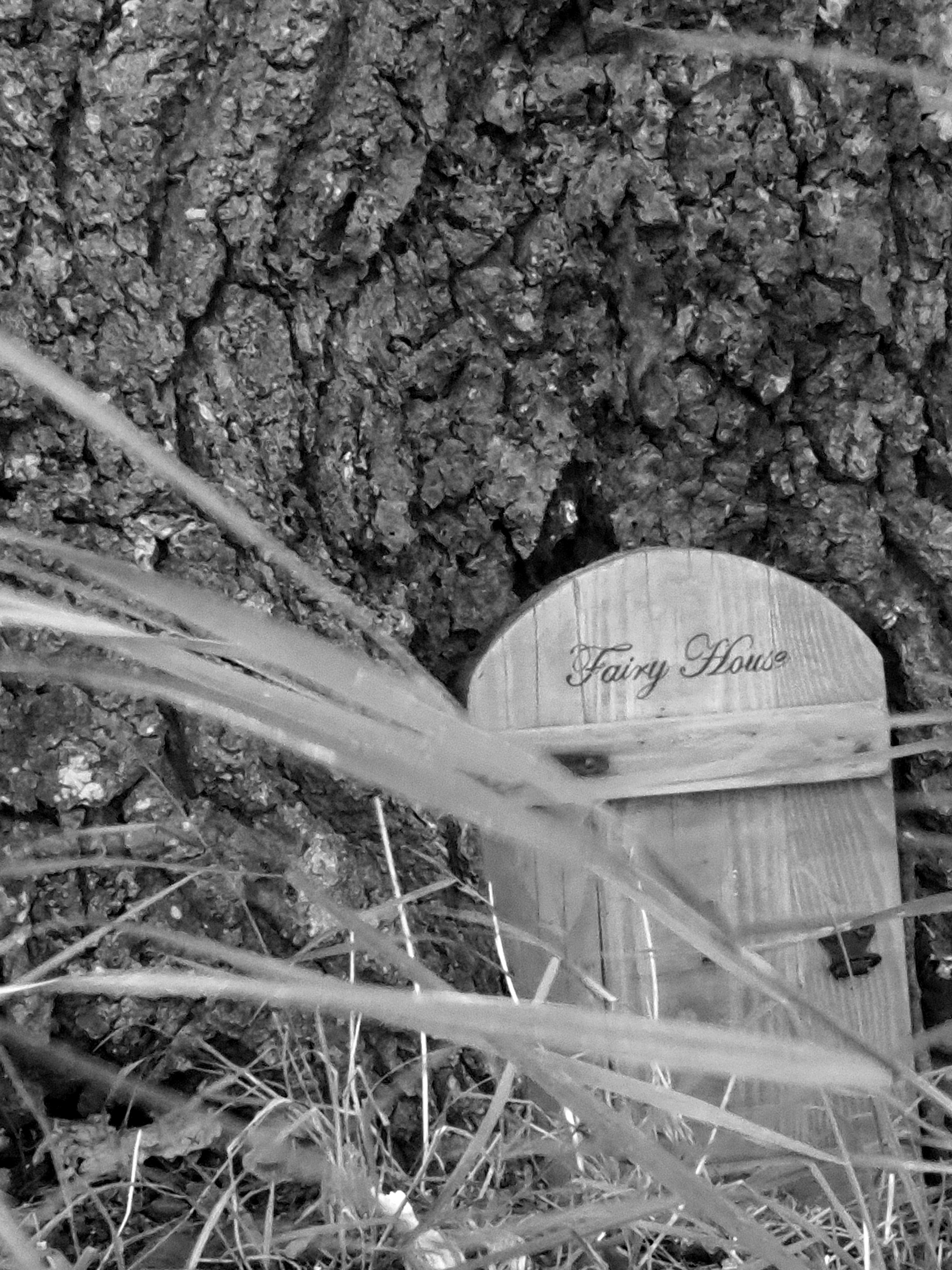
So, the photo above is taken from the opposite side of the green, on a track up from Walkern. The tree is a crab apple and, as in so many places we have visited during this strange time, someone has left a shrine. Further on, at the foot of a surviving oak, another hand had stretched out for solace to ancient beliefs.

Bassus Green stands for many we have visited since the spring. Wide spaces once hacked from forest that finds a faint echo in surrounding woodlands; a handsome old farmhouse amid a clutch of gentrified cottages; approaches along narrow and twisting lanes, some now roads, some left as footpaths; a nearby moated enclosure; and some quiet.
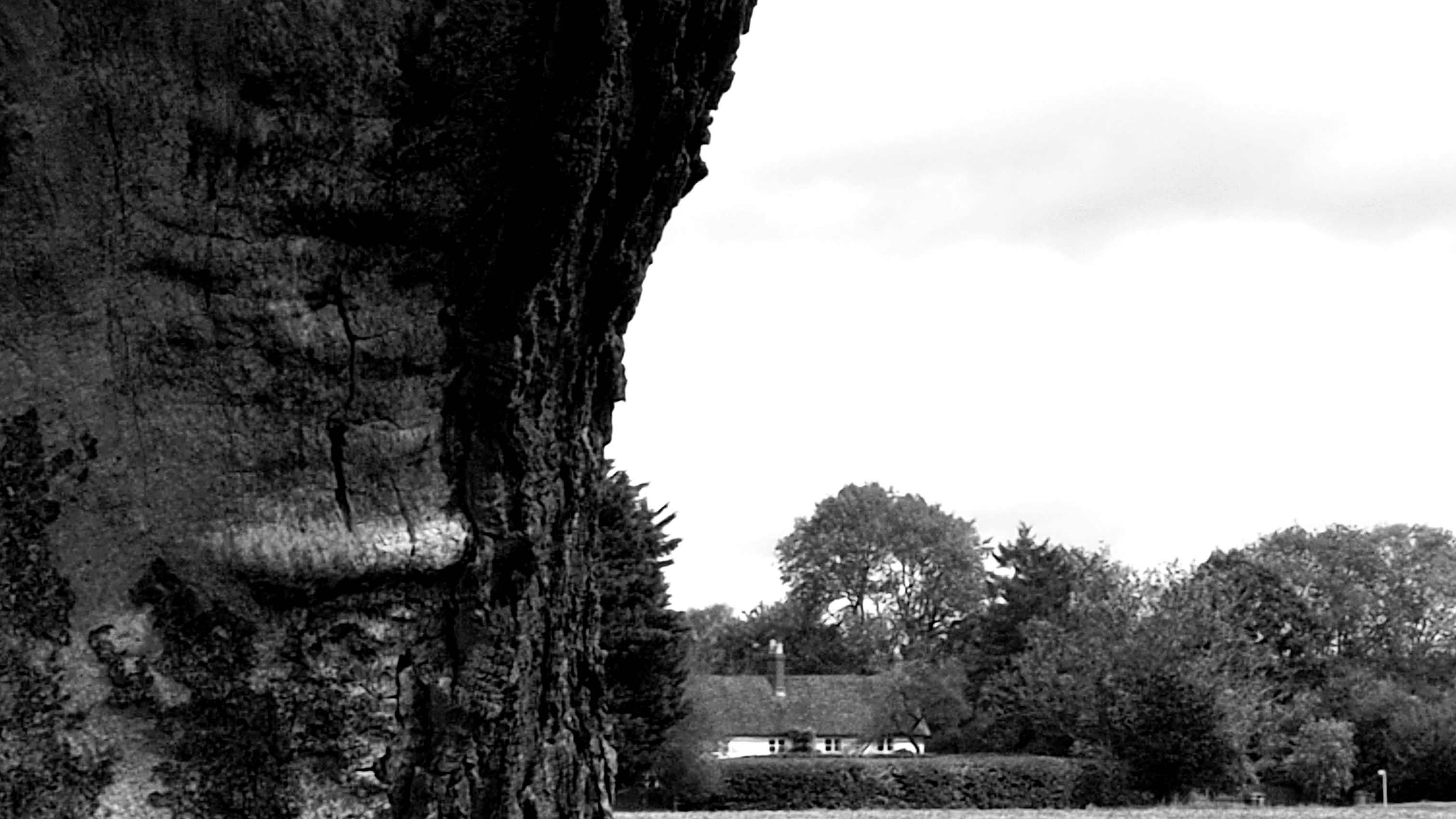
If you have stuck with our journeys or if you stumble across them in the future, I hope you enjoy the snapshot of Hertfordshire’s greens. We certainly haven’t been to all of them, but we have had a crack at recording something of the character of these features of the county in 2020.
I will archive the series on the site at some point. There’s another project in the offing, so do stay subscribed. In the meantime, I may periodically post some one-off photographs.

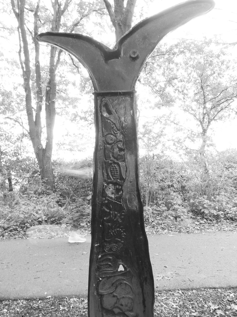
We turned off the A1057, the old Hatfield Road from St. Albans, into a country lane and found Wilkin’s Green just a hundred yards off the main drag. There’s a farmhouse, then a tiny triangle of lanes enclosing a former smithy. From there we headed down a byway towards Bullen’s Green, crossing the Smallford Trail, another of the one-time railway tracks converted into a cycle path. The sculpture above marks the place a little girl was hit by a train in 1929. Look to the left of the sculpture and you can make out a ghost running by, though from the footwear not a child of the 1920s.
A hairy dash across the A414 and then past more former heathland and by a deserted campsite called Cherry Green Trees though no green is marked on the current Ordnance Survey map nor on the 1805-1834 map. So, the name may be unrelated to local history. But this was just the first of the morning’s now-you-see-it, now-you-don’t greens.
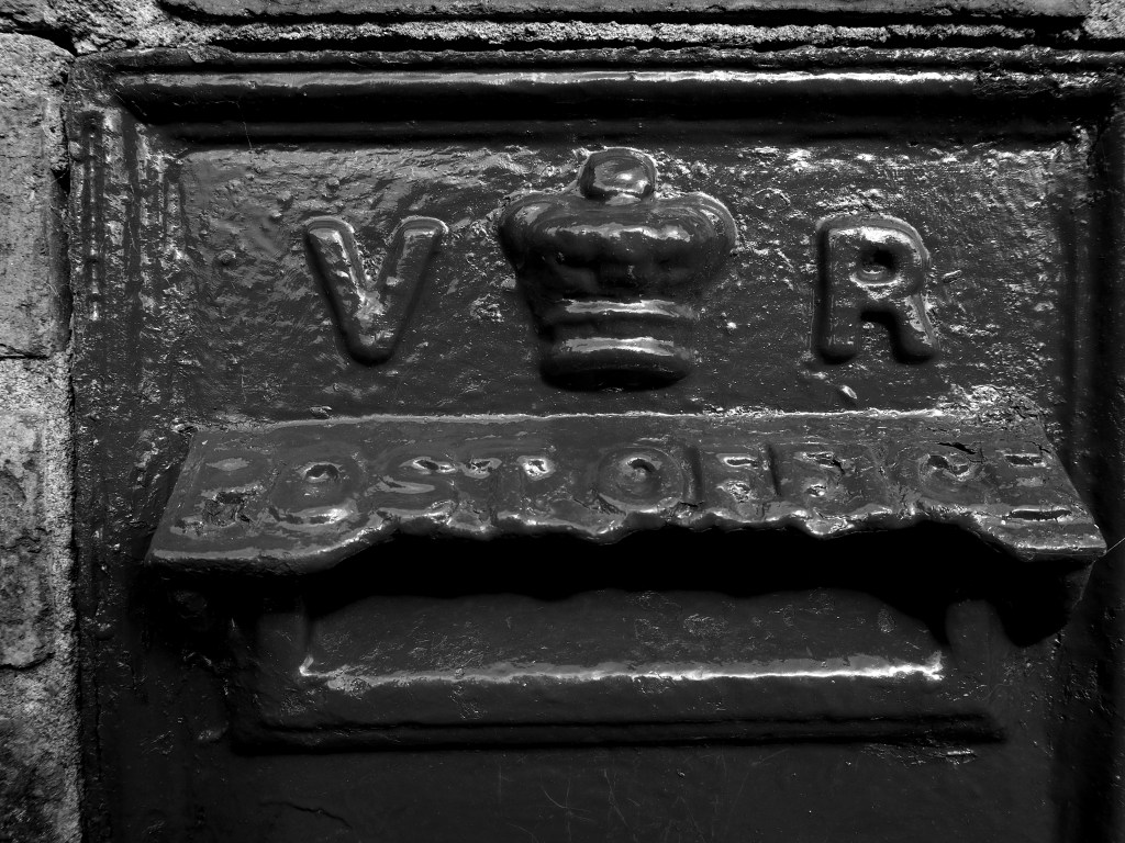
Bullen’s Green boasts a Victorian postbox and there are a few 19th century cottages among a run of newish builds and some between-the-wars houses that could have been transplanted from the suburban sprawls of outer London. With the A1M thundering just a few hundred yards away, it’s a strange place. Smallholdings cower beneath the road. A little away from the traffic, there are livery stables and the occasional ancient oak. We disturbed a heron hunting in dew ponds in a long meadow while a buzzard circled.
Oddly, the old map doesn’t mark a Bullen’s Green but it does have a Dulsham Green that has vanished from the modern map. The old map also has a Row Green and a Chantry Green near our starting place but they have been swallowed up by Hatfield sprawl.
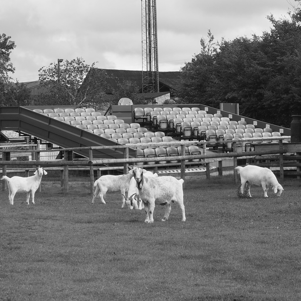
So to Bowmansgreen, just outside London Colney. Or it was. The green is marked on the old map. The new one just shows a Bowmansgreen Farm next to the River Colne. Perhaps we missed it, though I can’t see how. I suspect it has been absorbed into Willows Activity Farm. The footpaths have been reconfigured so you walk round the perimeter of the farm. Lots of interesting smells and sights for Jess the Jack Russell and an unwanted reminder of what Coronavirus has done to our sporting life – the teams may be playing but it’s not the same without the fans.
On the drive back, roadworks and diversions prevented me from following a signpost to Tyttenhanger Green Clinic. There’s no such green on the modern Ordnance Survey but when I looked later there is one on the early 19th century map, with a Primrose Green nearby and a couple of miles north a Coopers Green, neither warranting a mark these days although Coopers Green Lane is still labelled. None of these (or others that have disappeared from contemporary maps) were substantial settlements but nor have they disappeared – the houses still show on the Ordnance Survey. They have had their identity taken away and with it a slice of our county’s heritage. Ghost greens.
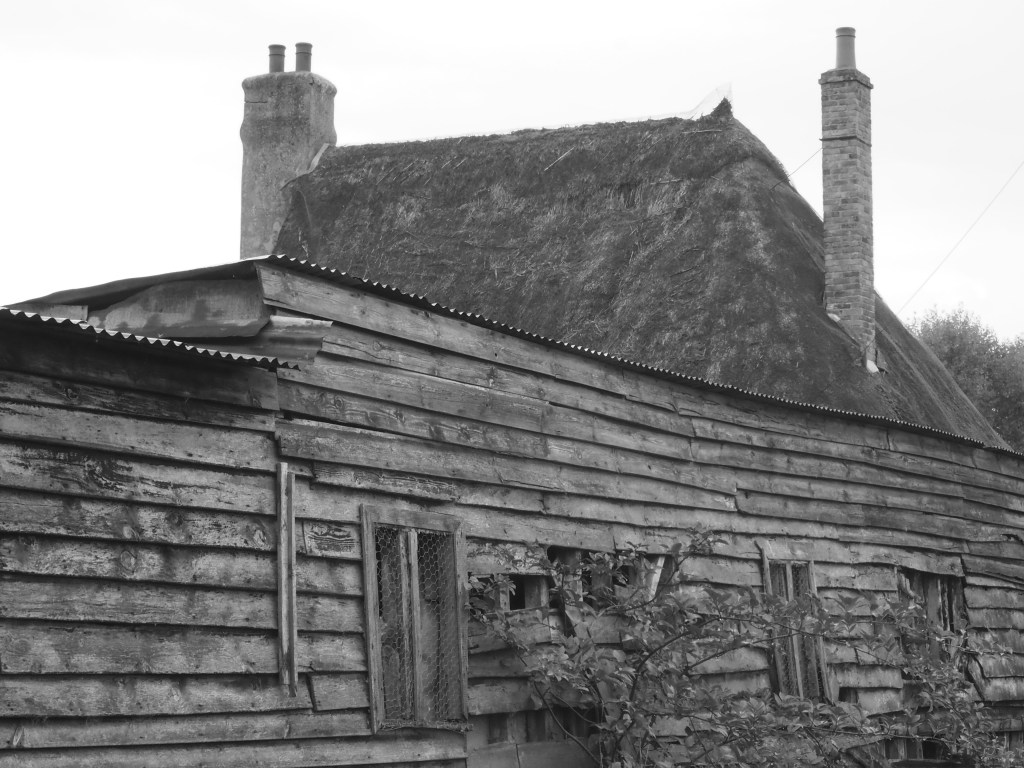
Kettle Green – fittingly – lies on Kettle Green Lane, near Hadham Cross. A few houses and farms dot the country road but my assumption is that Kettle Green Farm is most likely to be on or near the site of the original farmstead in cleared land. If that’s the case, then it fits one of the sub-categories of greens that I’ve noticed, the isolated farm, sometimes at a junction of paths and roads, sometimes on a turn in the road, reminders of the typical Y shape of Hertfordshire greens.
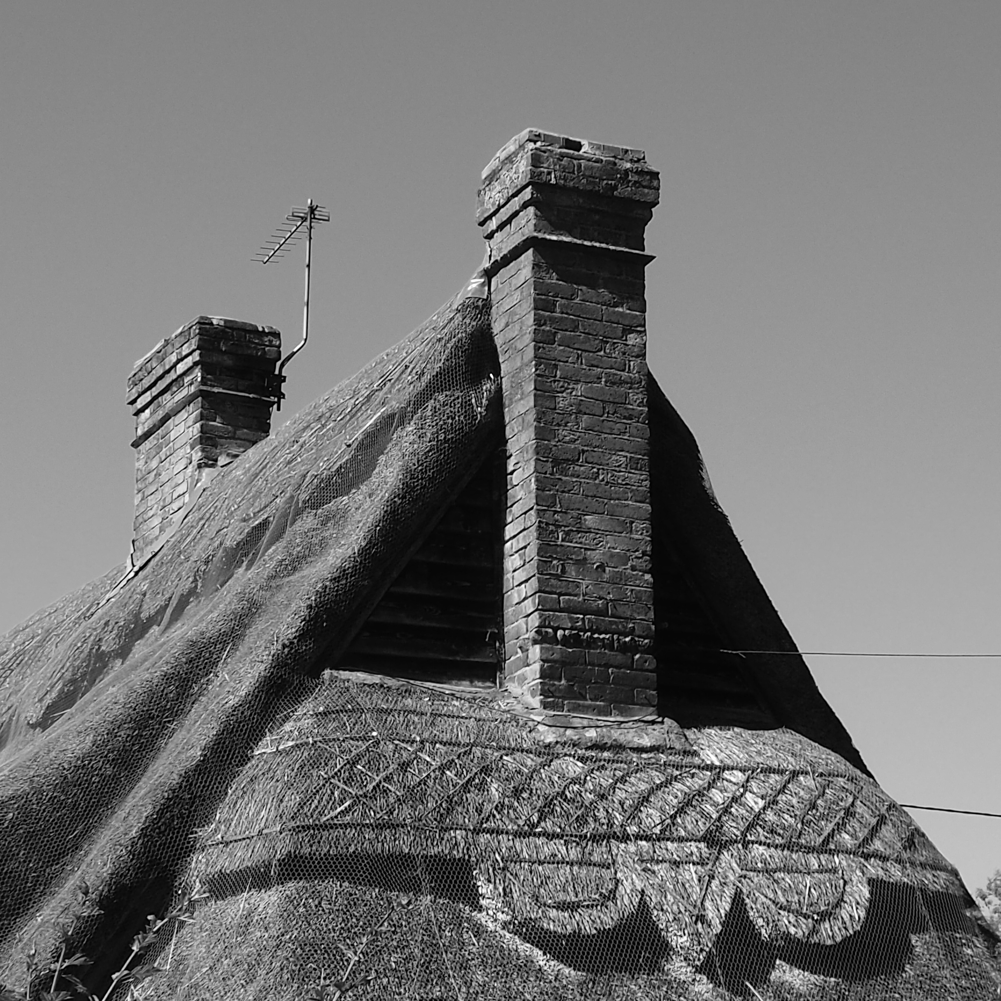
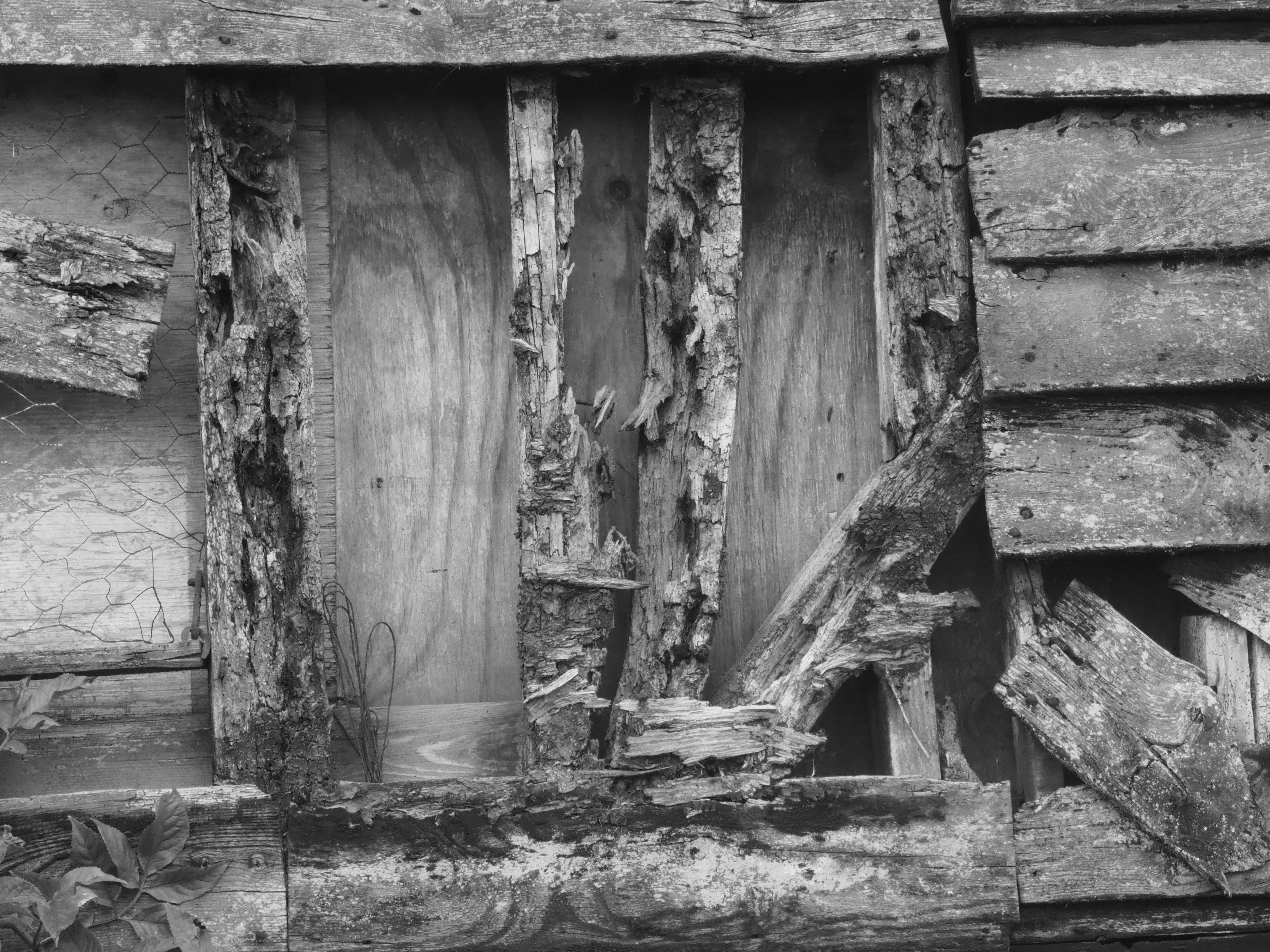
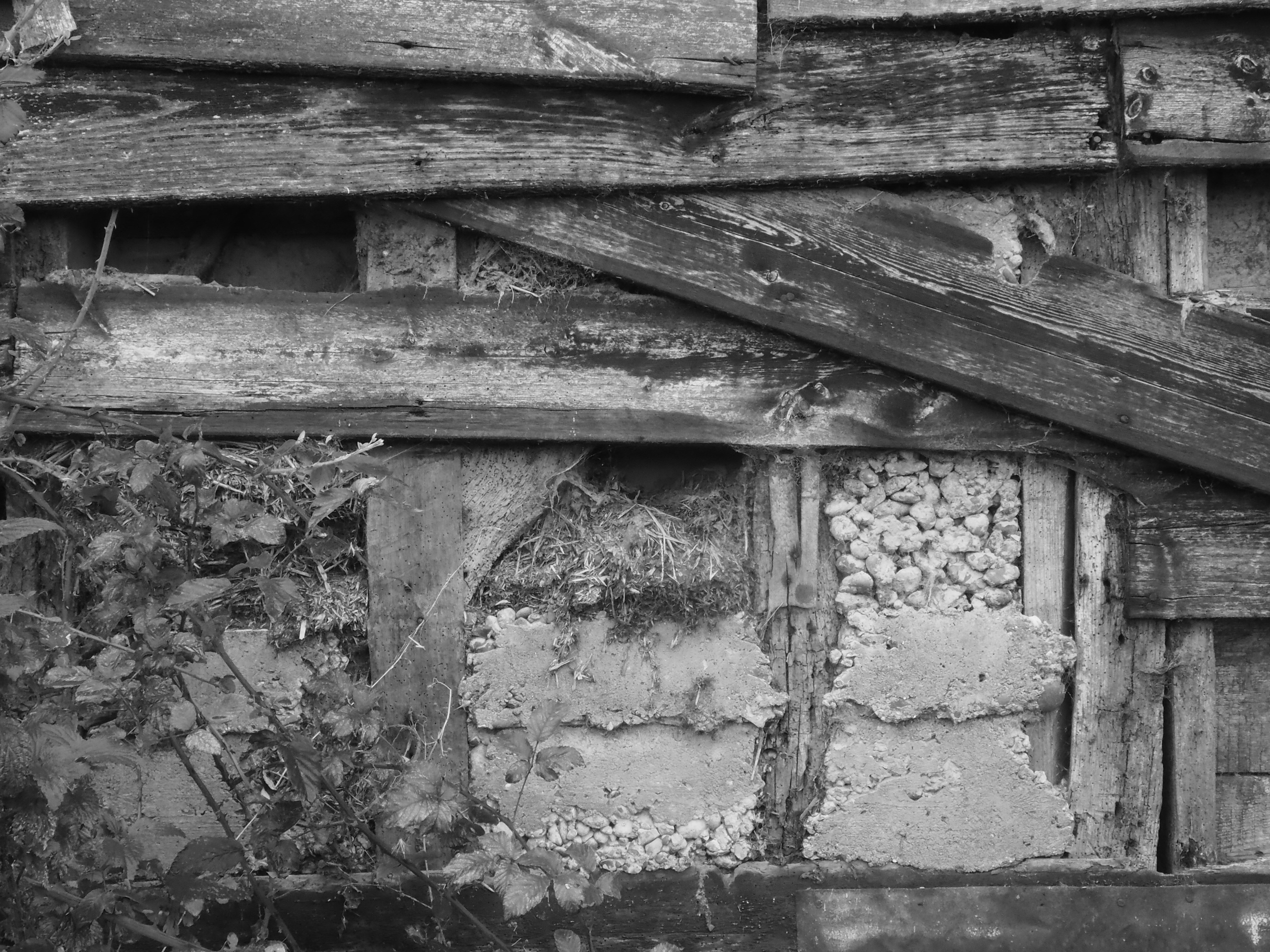
The current farmhouse was built in the late 16th or early 17th century and is a listed building. It has a steep, thatched roof, tall chimneys, casement windows, whitewashed walls, and a long, much-patched clapperboard barn.
The leisurely route to Perry Green led down winding lanes and across the fords of the River Ash. This is the Perry Green near Bishop’s Stortford, not the one previously visited out Harpenden way. Crossing one ford, a kingfisher perched on the depth measuring pole.
Perhaps a couple of dozen houses line the Y-shape formed by the one-and-a-bit track roads embracing Perry Green. There’s a pub and a couple of farms. The old phone box now hosts a defibrillator. Autumn weather came on strong the day we arrived, lock down restrictions had just been re-tightened, and the pub’s outdoor food offering was packed up.
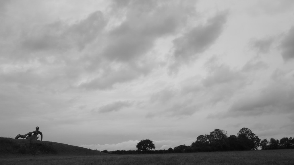
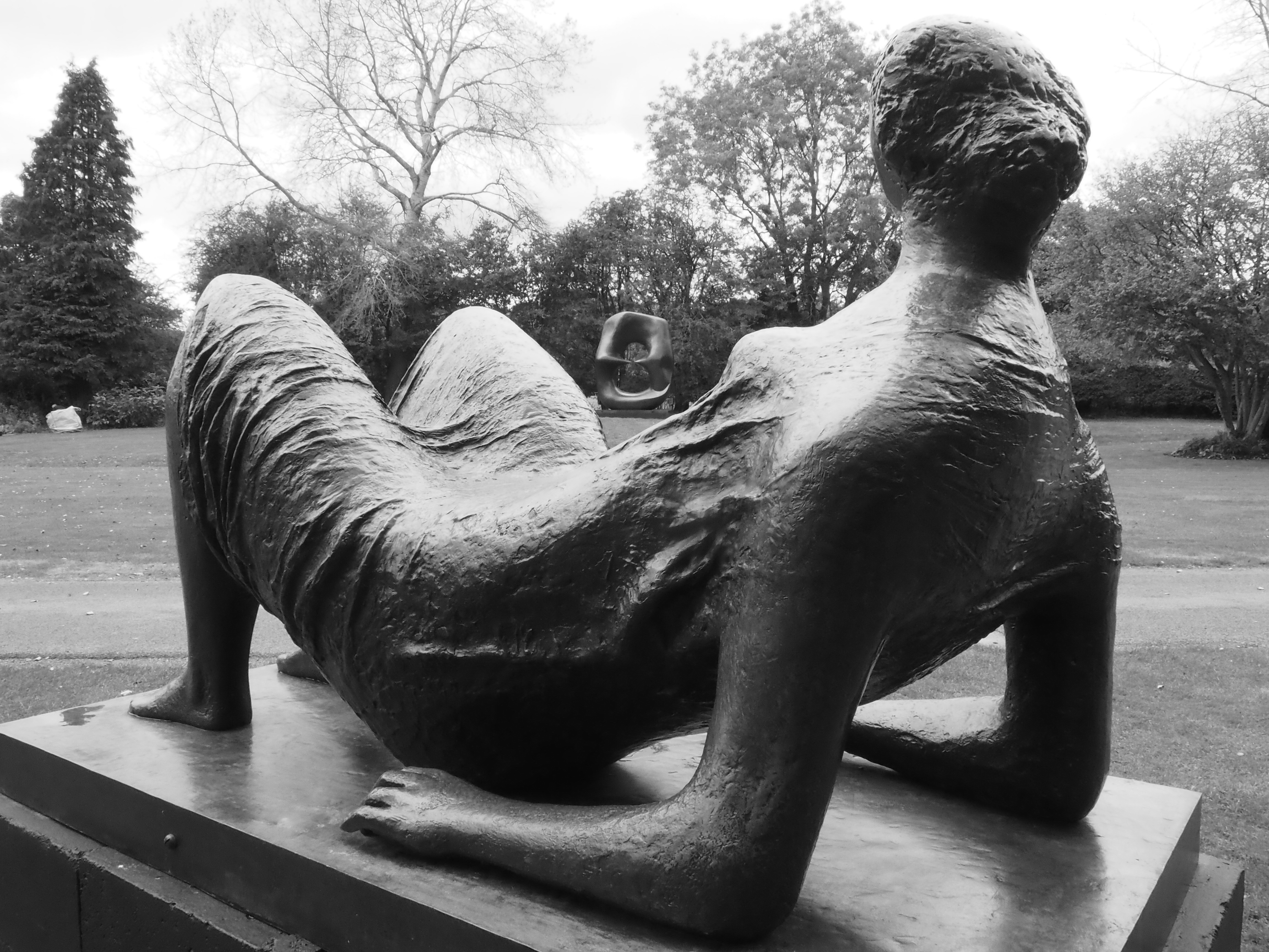
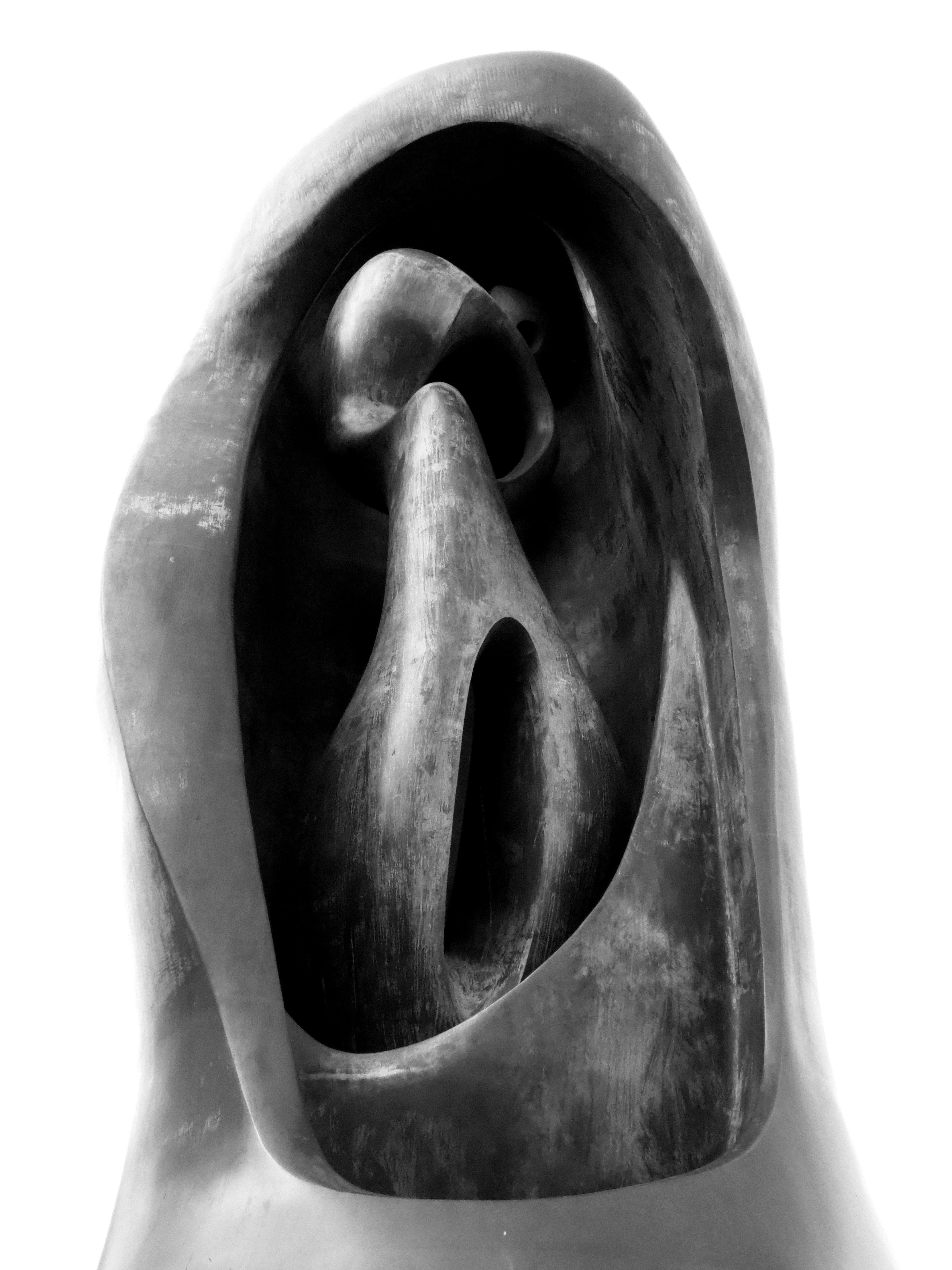
The hamlet is dominated – in a good way – by the wonderful Henry Moore Foundation at Hoglands. Sculptures are scattered around the gardens and the Sheep Field. Despite coronavirus restrictions, Moore’s former workshops were still accessible although his house was not. If you haven’t visited, do.



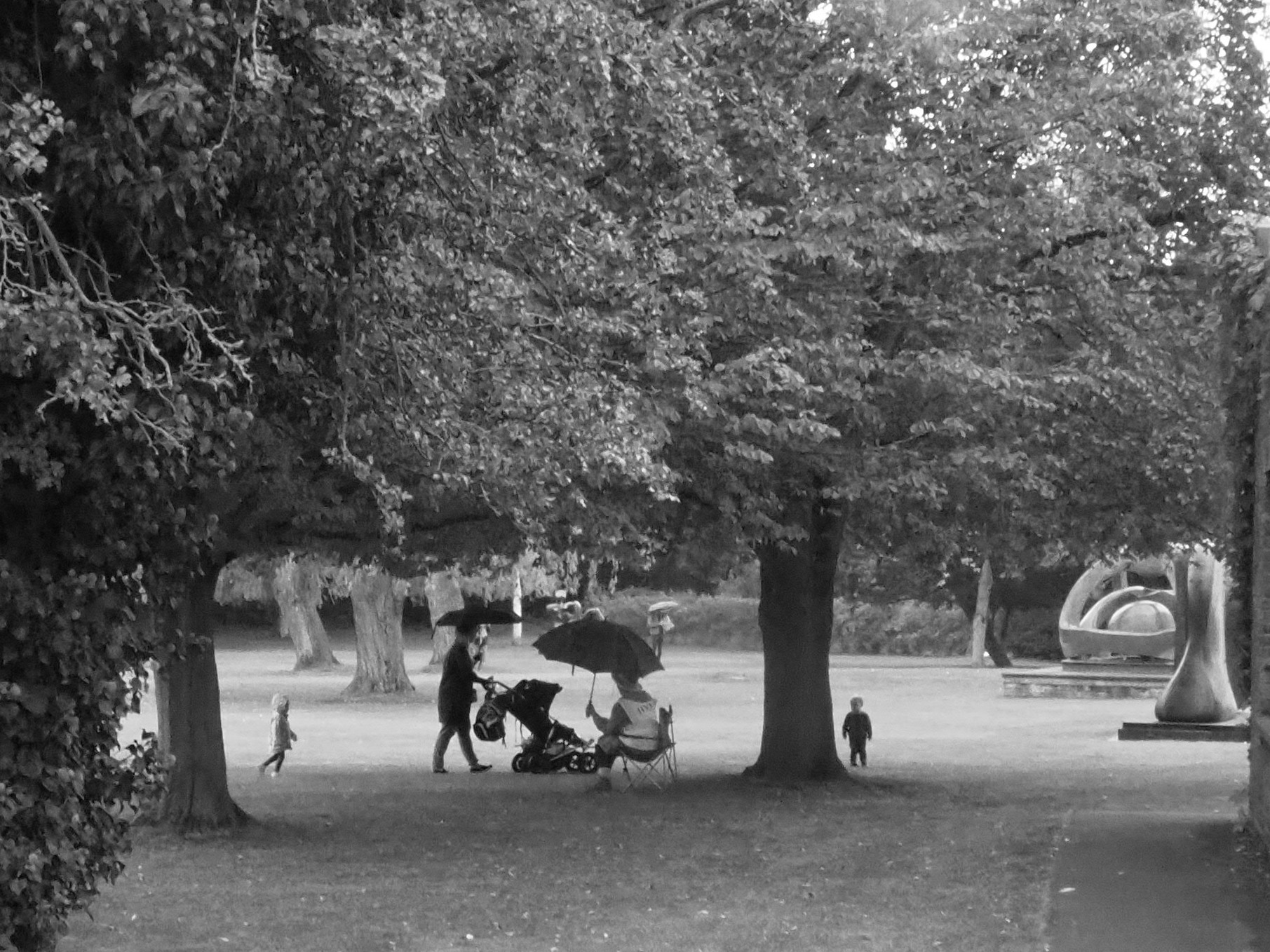
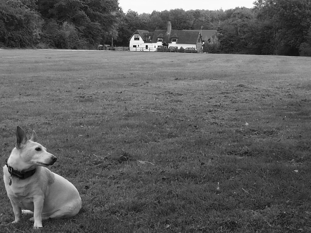
We picked our way along a footpath and over some fallow land from Stocking Pelham to Crabb’s Green. The hamlet is a stone’s throw from the Essex border that on this stretch exhibits no obvious geological or topographical logic so we have typical ‘Hertfordshire Greens’ a mile or two inside Essex.
The few houses of Crabb’s Green are dotted around an expansive sward nicely hidden by high hedges. And those hedges don’t just stop passers by looking in. More importantly if you live there, they block a view out and to the south of a transformer station and its attendant pylons.

On our way home, we ticked Washall Green off the list. The familiar meeting of country roads and footpaths with a post box and a cottage or two on the junction and lofty-chimneyed farmhouse further back.
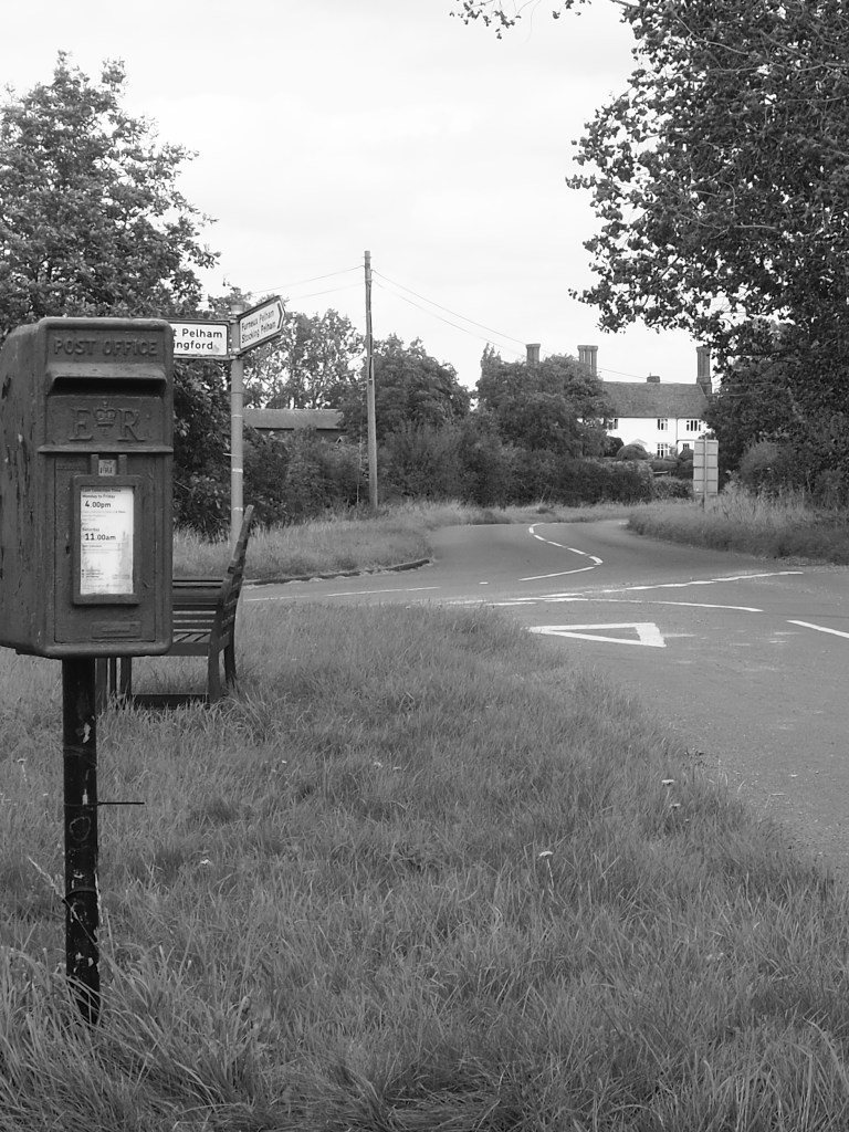

The view from this bench in a field in Upwick Green was bucolic until the roadworks started. A dumper truck kicks up dust in the middle distance and out of shot there’s a long scar across the countryside. The noise from this far off is not loud but it is persistent. The footpath route to Hadham Hall is cut and when it is restored walkers will have to negotiate an A road. But traffic flow to and from Bishop’s Stortford through Little Hadham will be much reduced.
Upwick Green is on relatively high land and comprises just a handful of former or working farm houses. An expanse to the north is still known as The Common but has long been arable fields, albeit still passable using footpaths.
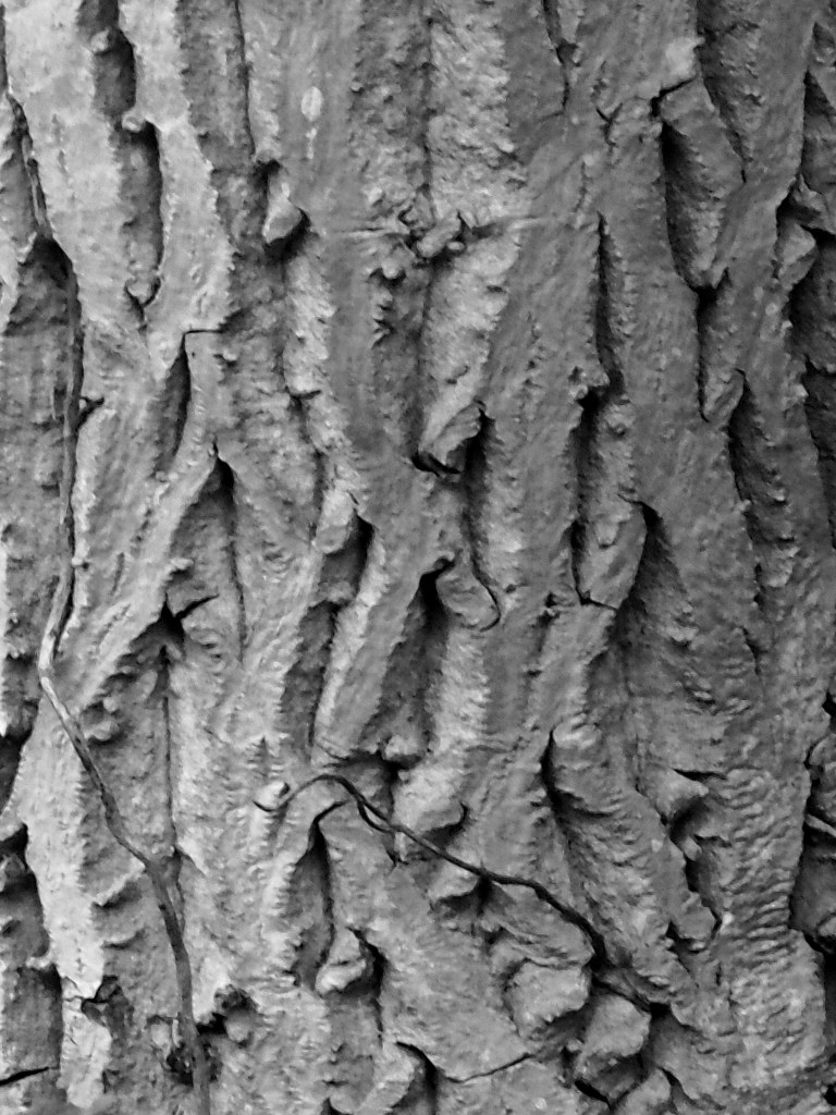
Just down the lane and even nearer to the county boundary with Essex is Walnuttree Green – again just a few attractive old houses – and, yes, we found a walnut tree in a garden there with its distinctive bark. I wonder if walnut trees were a local speciality. Perhaps coincidence but there’s a place called Walnuttree Cottages a couple of miles to the east.

There’s no pavement along the road running through Epping Green, which meant it was a little tricky taking photos. The most imposing building is a brick stud farm with its cupola. The bricks are etched with the names and initials of innumerable youngsters.
There’s a pub set back from the road and undergoing renovation when we passed, and a big old house down a lane has been converted into flats. The land along there is known as Epping Long Green. Beyond that, a yard with utilities paraphernalia – a water tower and phone masts.


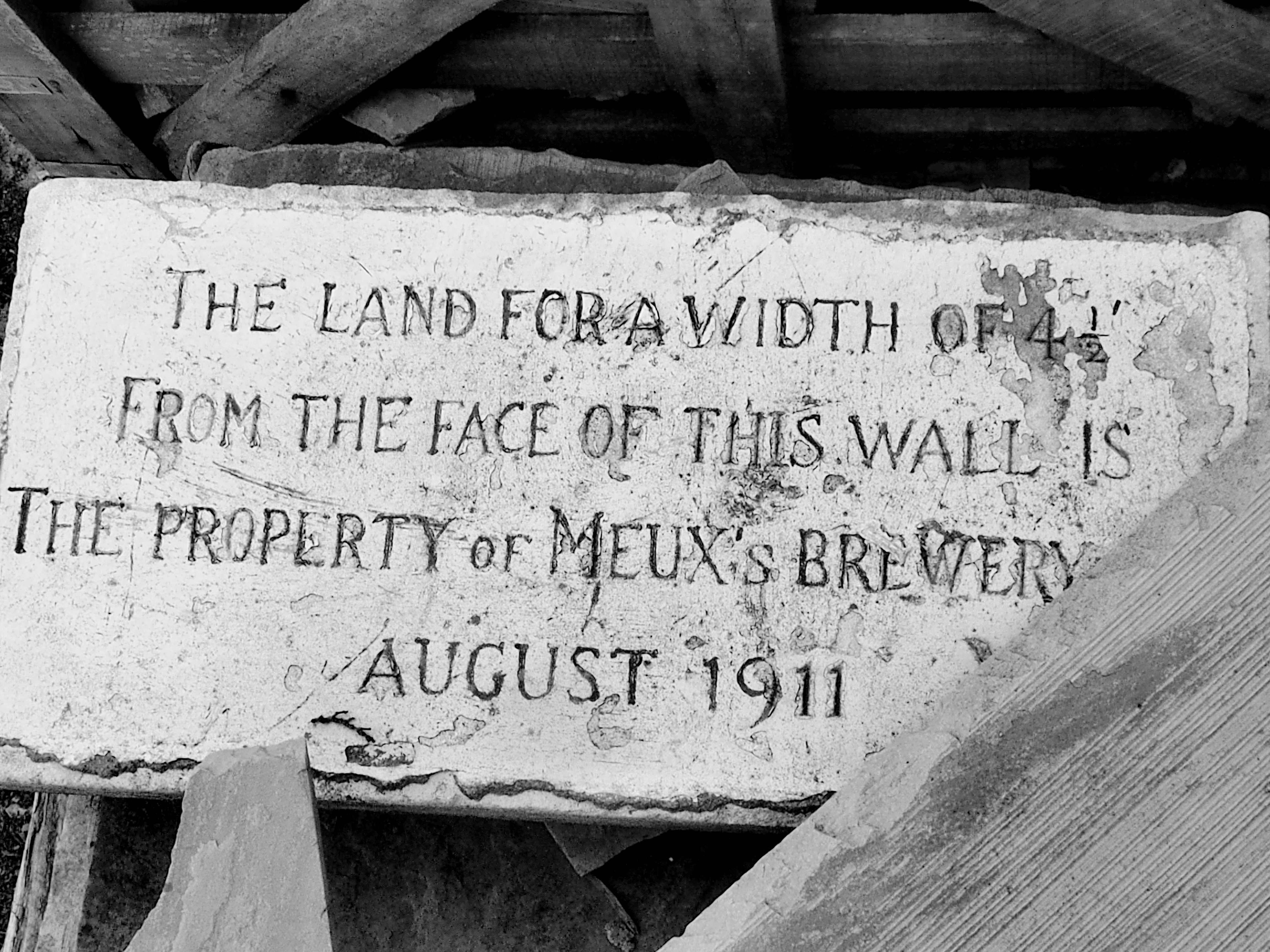
We found a sort of circular walk from there and passed through a farmyard-cum-junkyard-cum-builder’s yard with some interesting bits and pieces, including a property marker of the old London brewer Meux that operated premises on the corner of Tottenham Court Road and Oxford Street until 1921.


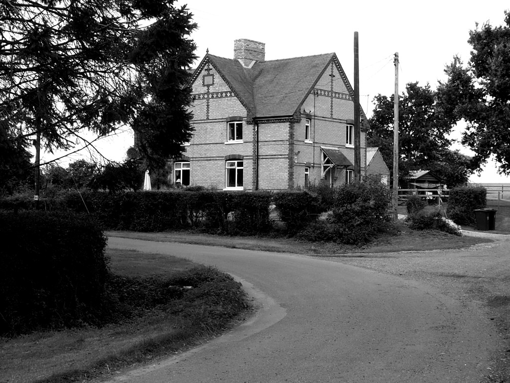
The Hertford and Bishop’s Stortford Ordnance Survey shows at least 20 greens to the north of Bishop’s Stortford, so off we set off on a reconnaissance trip. We were just a few hundred yards from Killem’s Green when we spotted it – a ‘Welcome to Essex’ sign. I’d forgotten the Essex bulge to the north of Stortford. So, the likes of Roast Green and Stickling Green, Starling’s Green and Deer’s Green are beyond this blog’s Hertfordshire remit.
But we’d come this far and decided that if we were within sight of Hertfordshire, the natives might not be entirely feral and a mosey might be risked. After all, we dipped a few hundred yards into Bedfordshire to visit Butterfield Green (earlier post) and survived.
So we stopped off at Killem’s Green and nearby Pickerton Green. Killem’s Green is a 90 degree turn in a country road. Look at the map and you can see that in former days it was a crossroads – or crosstrack – a byway continuing one road approach and a footpath the other. The north-south road approach is edged by a sward that may be the relic of the original green. There are four houses. The source of the River Stort is nearby.
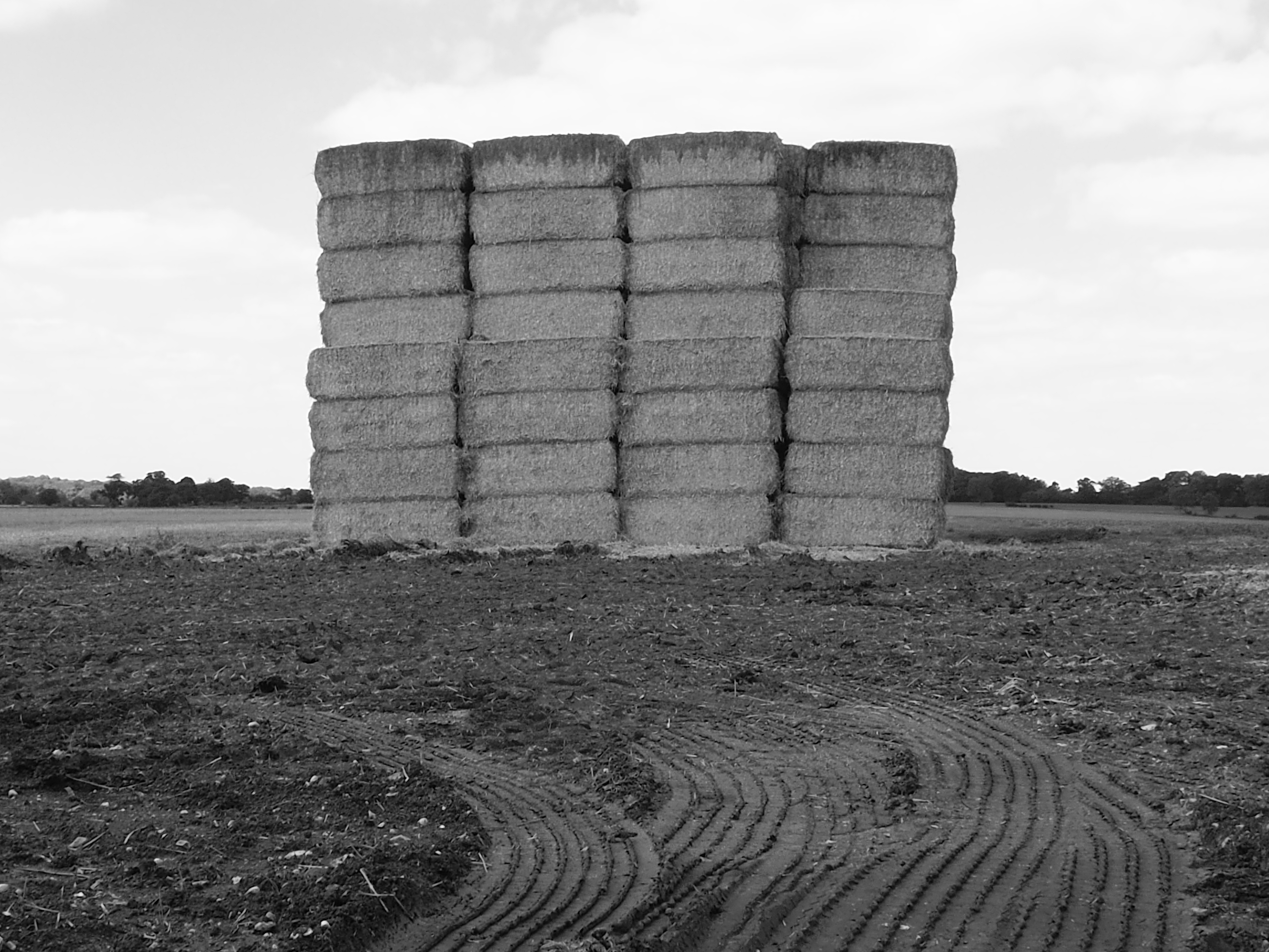
This trip was the day it struck me that we’d started recording greens in spring and now it was autumn. The harvest was in. And the oak trees around the vast field that stands on Pickerton Green were full of acorns and the bushes bulged with hips and hoars and sloes.

South of Killem’s Green is Langley Lower Green, with its mirror Upper Green a mile to the east. Too far inside Essex for us to record, but interesting as they lie some distance from Langley village. The name Langley comes from the old English for long clearance from woodland. It may be that the two greens were subdivisions of the ley that later spawned the village.
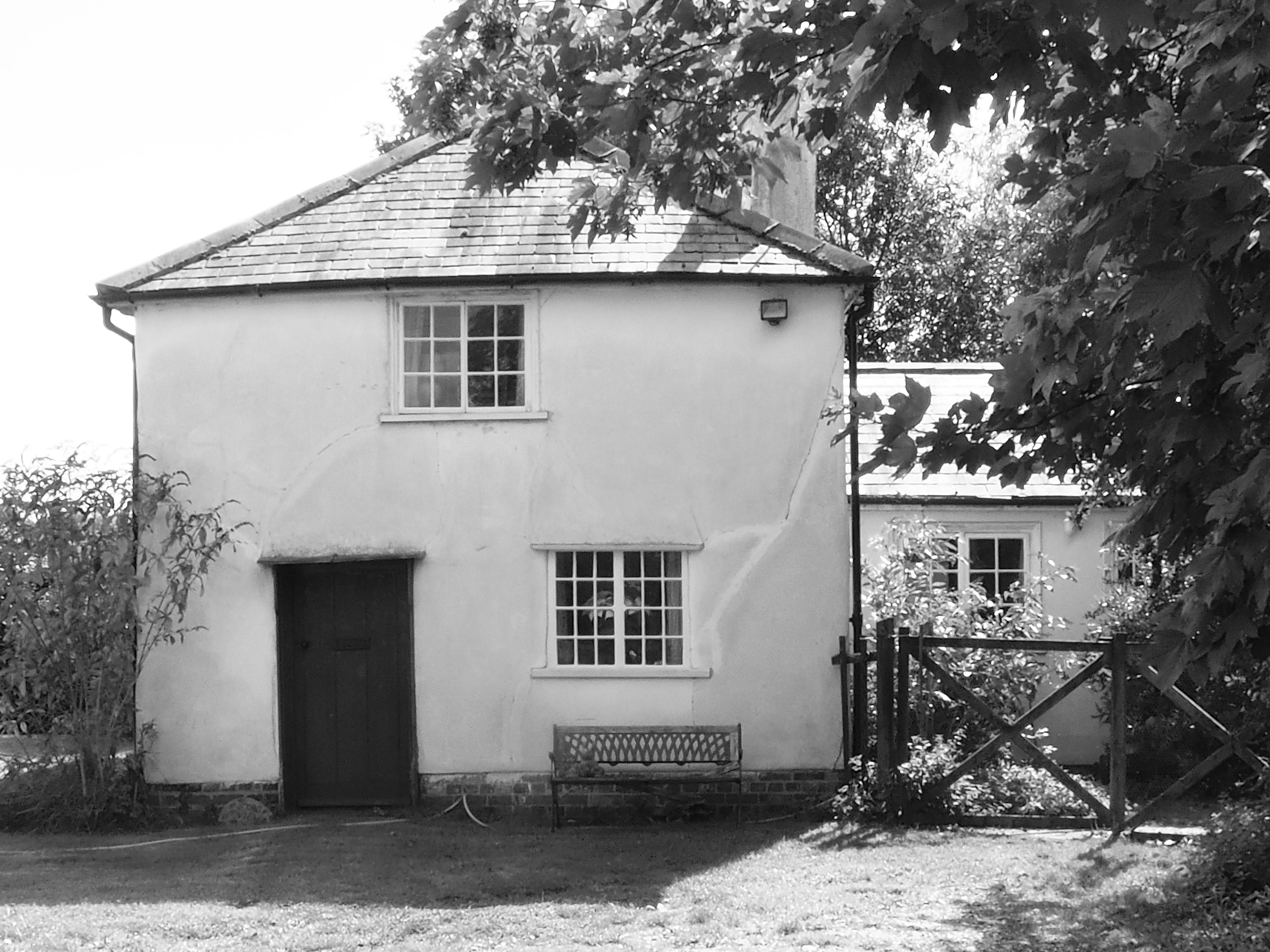
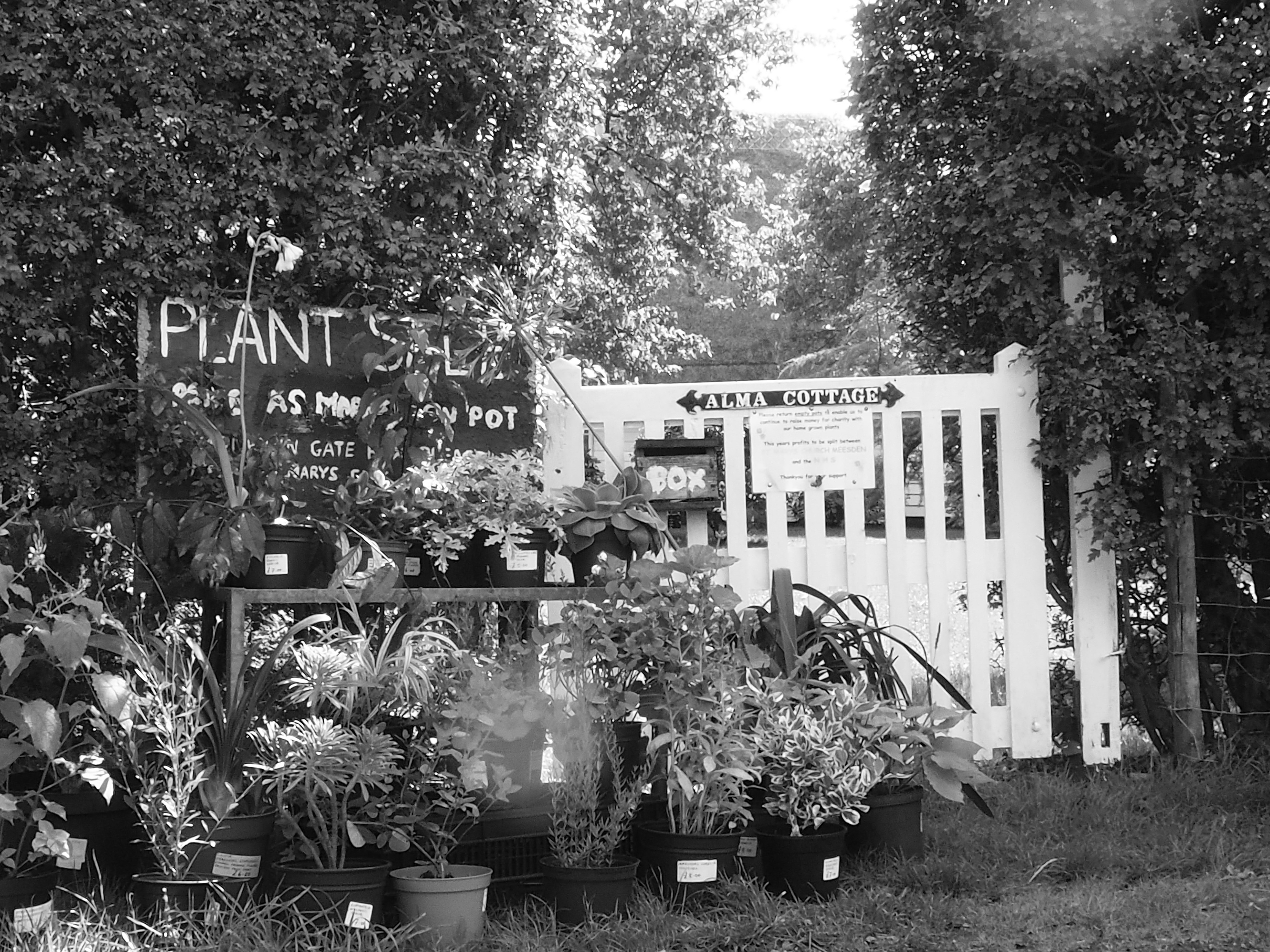
So, we moved on to another Lower Green, this one on the righteous side of the boundary, between Meesden and Anstey. It has no (extant) upper green and seemed far enough from the nearest villages to be deemed freestanding and therefore meriting a post. We found some half-hidden ponds and a clutch of pretty cottages.
A view to the north of the hamlet gave on to white earth and a field of sunflowers. Beyond Scales Park wood, the map still shows a long airstrip that was built during the Second World War for the US air force. It was initially a fighter base but later hosted Flying Fortresses. A monument at a pub in Nuthampstead has the chilling inscription Hell from Heaven.

Have a WordPress.com account? Log in now.

