The Hertford and Bishop’s Stortford Ordnance Survey shows at least 20 greens to the north of Bishop’s Stortford, so off we set off on a reconnaissance trip. We were just a few hundred yards from Killem’s Green when we spotted it – a ‘Welcome to Essex’ sign. I’d forgotten the Essex bulge to the north of Stortford. So, the likes of Roast Green and Stickling Green, Starling’s Green and Deer’s Green are beyond this blog’s Hertfordshire remit.
But we’d come this far and decided that if we were within sight of Hertfordshire, the natives might not be entirely feral and a mosey might be risked. After all, we dipped a few hundred yards into Bedfordshire to visit Butterfield Green (earlier post) and survived.
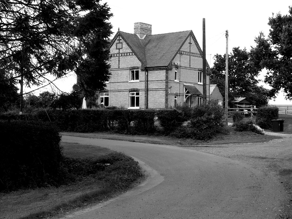
So we stopped off at Killem’s Green and nearby Pickerton Green. Killem’s Green is a 90 degree turn in a country road. Look at the map and you can see that in former days it was a crossroads – or crosstrack – a byway continuing one road approach and a footpath the other. The north-south road approach is edged by a sward that may be the relic of the original green. There are four houses. The source of the River Stort is nearby.
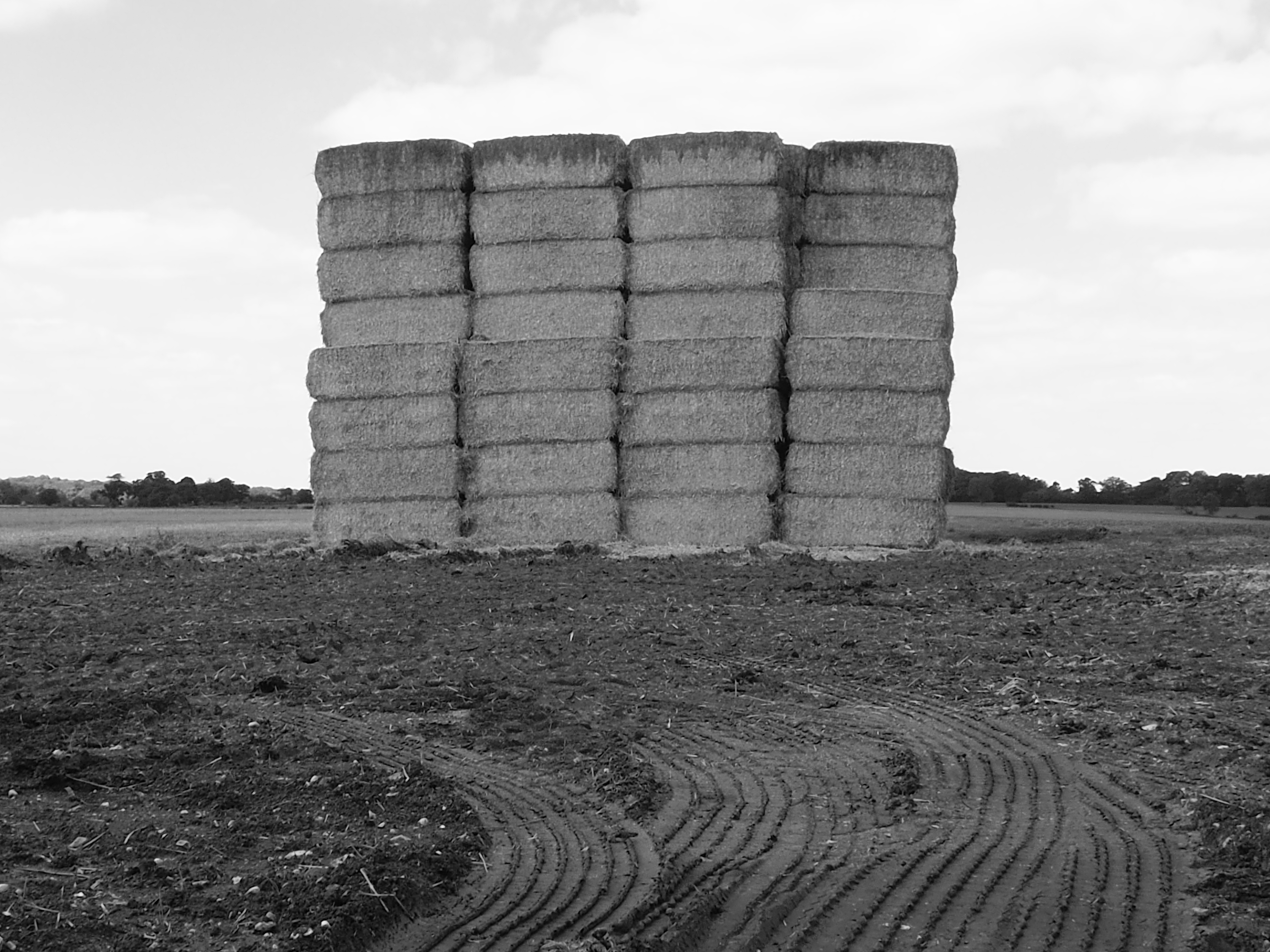
This trip was the day it struck me that we’d started recording greens in spring and now it was autumn. The harvest was in. And the oak trees around the vast field that stands on Pickerton Green were full of acorns and the bushes bulged with hips and hoars and sloes.

South of Killem’s Green is Langley Lower Green, with its mirror Upper Green a mile to the east. Too far inside Essex for us to record, but interesting as they lie some distance from Langley village. The name Langley comes from the old English for long clearance from woodland. It may be that the two greens were subdivisions of the ley that later spawned the village.
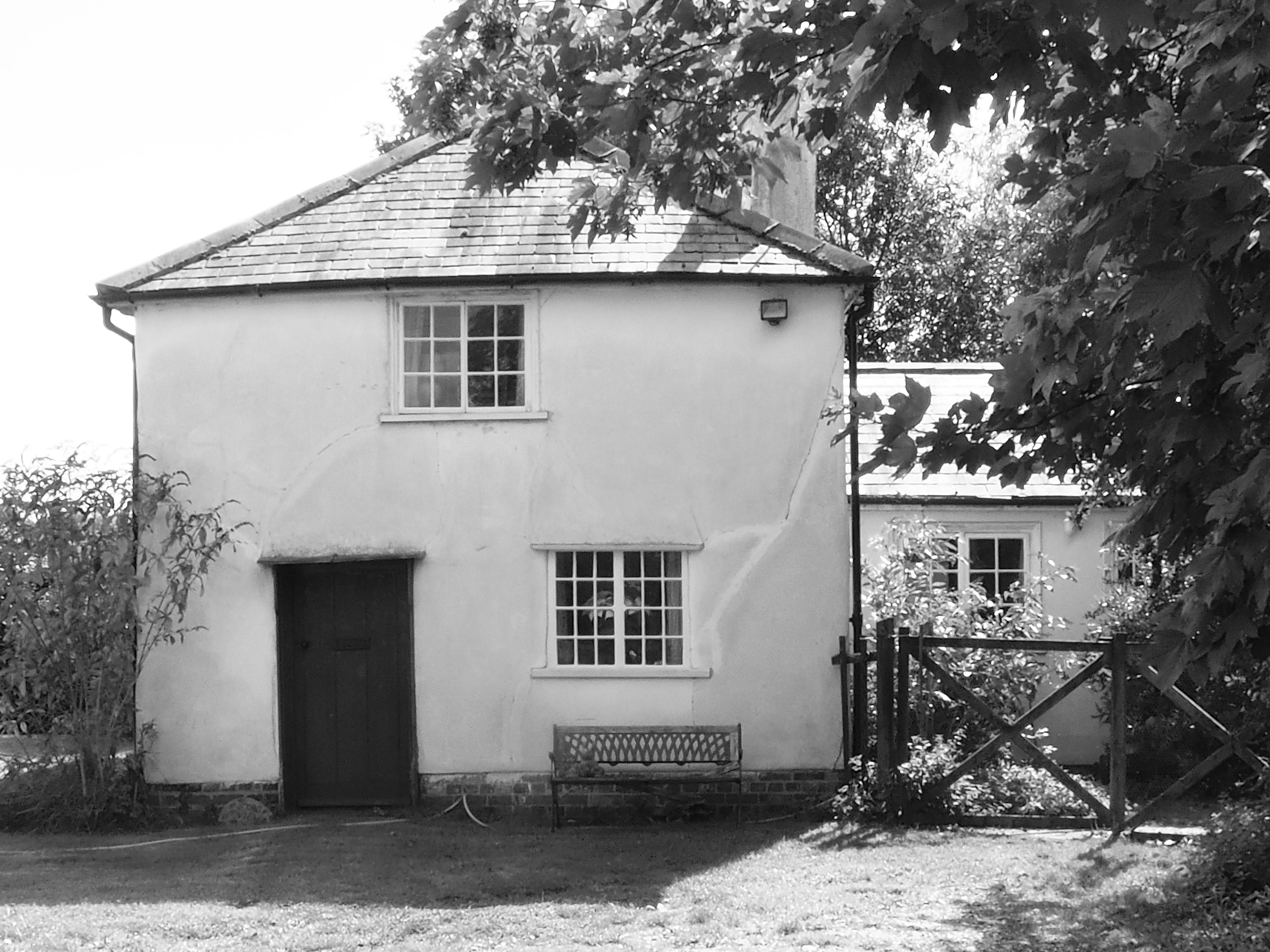
So, we moved on to another Lower Green, this one on the righteous side of the boundary, between Meesden and Anstey. It has no (extant) upper green and seemed far enough from the nearest villages to be deemed freestanding and therefore meriting a post. We found some half-hidden ponds and a clutch of pretty cottages.
A view to the north of the hamlet gave on to white earth and a field of sunflowers. Beyond Scales Park wood, the map still shows a long airstrip that was built during the Second World War for the US air force. It was initially a fighter base but later hosted Flying Fortresses. A monument at a pub in Nuthampstead has the chilling inscription Hell from Heaven.

