The chimney is of the only house in Sootfield Green, which is close to Preston on the high ground to the south of Hitchin. (It’s not marked on Google Maps but if you look at the satellite photo link, it’s at the centre of the X formed by the road and the wooded byway. It is marked on the Ordnance Survey.) The house nestles in the junction of the little road from Weston to Charlton and the Dead Woman’s Lane byway. The lane is said to get its name from a plague burial pit nearby.
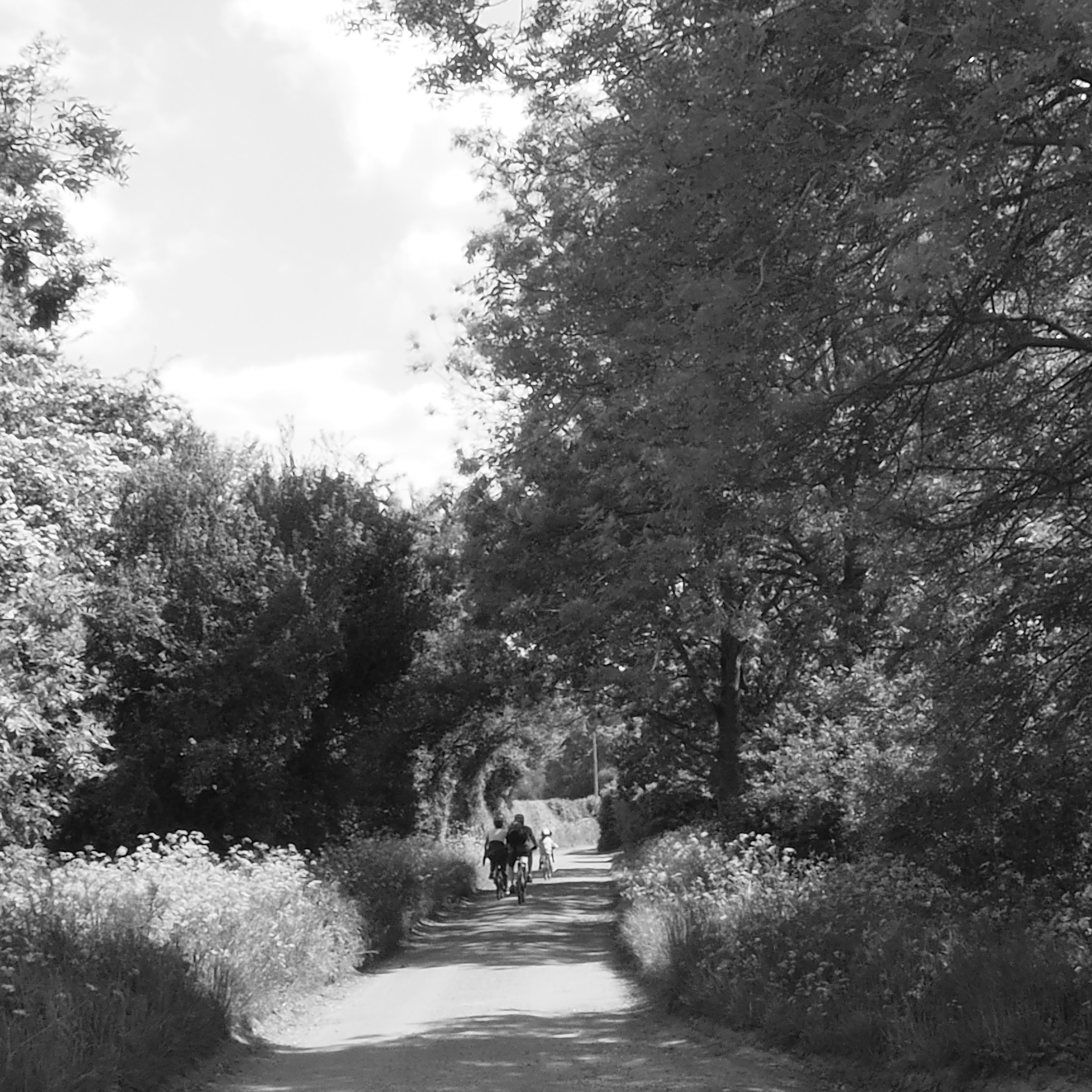
Trace the lane north and south through its various its manifestations as a footpath, byway, and minor road and you see it is an ancient route from Hitchin to Whitwell and beyond. The Tatmorehills Lane leg just before the green includes a short stretch of shallow hollow way where the number of tree species indicates just how old the route is. Other paths from Sootfield Green lead to Offley or past West Wood where the bluebell show in the spring is as good as the locally renowned Hitch Wood (though there’s no public access to West Wood).
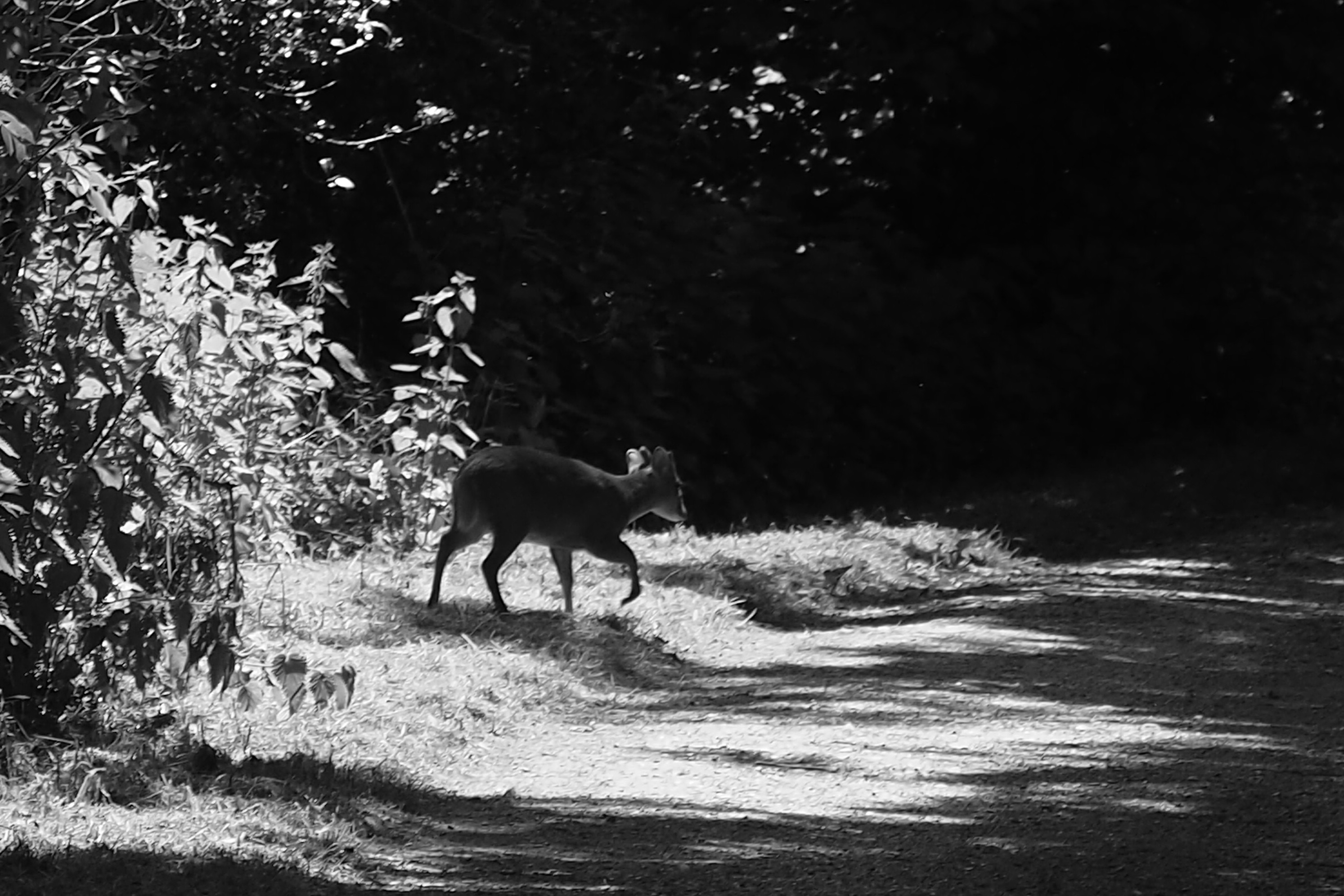
A dog breeder uses the field behind the house at Sootfield Green but that doesn’t deter Muntjac deer, and the odd hare can be spotted nearby.