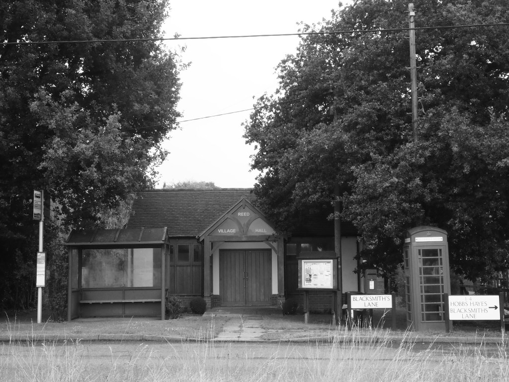
Encapsulation of the idyll of rural England: bus stop, phone box, letter box, parish notice board, standing in front of the village hall, the photograph taken from the boundary of the cricket field. All it needs is a pub in the background. Sadly, the local is under threat.
The cricket field stands on Reed Green. The green is now the village green of Reed. I said at the start that I wasn’t going to do village greens to the extent that the village preceded the green. Rather I would concentrate on greens that on many occasions (but by no means all) gave rise to a hamlet or village. I don’t think I’m breaking my own guidelines here because Reed Green is listed by British History Online as an entity in its own right. Even today, Reed is more an area than a nucleated village. The school is almost half a mile from the church and manor house, the lane between only dotted with houses, and Reed End is a mile to the northwest of the church. That’s the other side of the A10, probably more of a barrier now than when its was Ermine Street.
Grassroots cricket had recently resumed when we walked past, and the covers were being checked after a night’s rain.

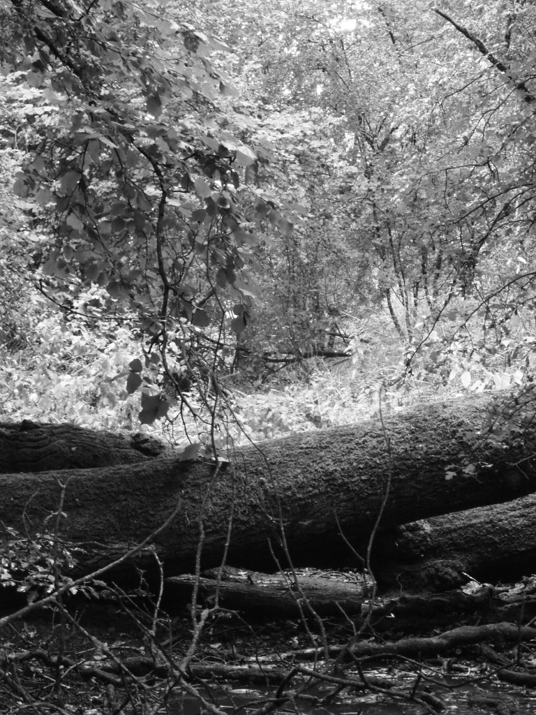
The Reed area has several ancient moated enclosures. One of these is at Gannock Green to the east and a little south of the church where the ditch is still well defined within a small wood. A footpath still leads there but no further, presumably once a track to a disappeared farmstead. Gannock Green is now cultivated land and a breeding enclosure for pheasants – autumn’s sacrifice to shooters who revel in bagging a near flightless target beaten towards their barrels.
There was a Fiddlers Green somewhere near Reed too but we could find no trace of it.
