Flanders Green is another of those not marked on Google Maps (though it is on the Ordnance Survey and footpath signs). Click on the link and it’s just south of the area marked as Brook Green, outside Cottered.
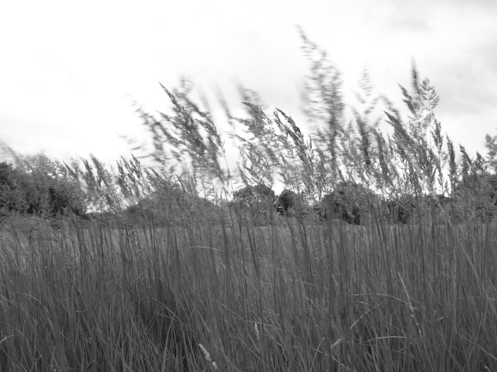
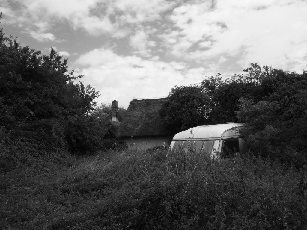
Part of it was turned over to sweet corn cultivation when we walked through. But the other half was hay meadow with wildflowers and patches of reeds. On the village side of the green, a couple of thatched cottages identify themselves being of Flanders Green.
Footpaths head southwest to Back Lane, the old Roman road that I’ve mentioned before as we used it to walk from Moor Green to Cherry Green and its neighbours. At the Hare Street end you can take a short diversion to the restored Cromer post mill. On our way back to Cottered, a young fox gave us a display of hunting for voles in a hedgerow.
