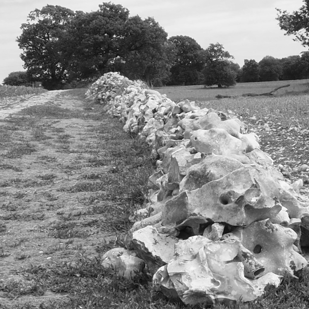
The shot above shows flints gathered from the adjacent field outside Breachwood Green. The abundance of flint in the land above and to the east of the Lilley Bottom valley indicates a variation in the geology and soil compared to the area to the west. And that shows in the local flora. Foxgloves are abundant.
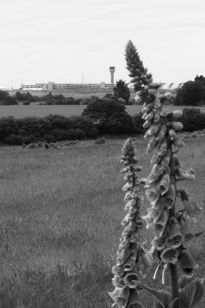
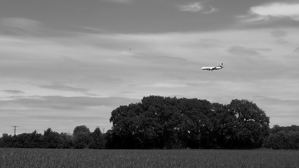
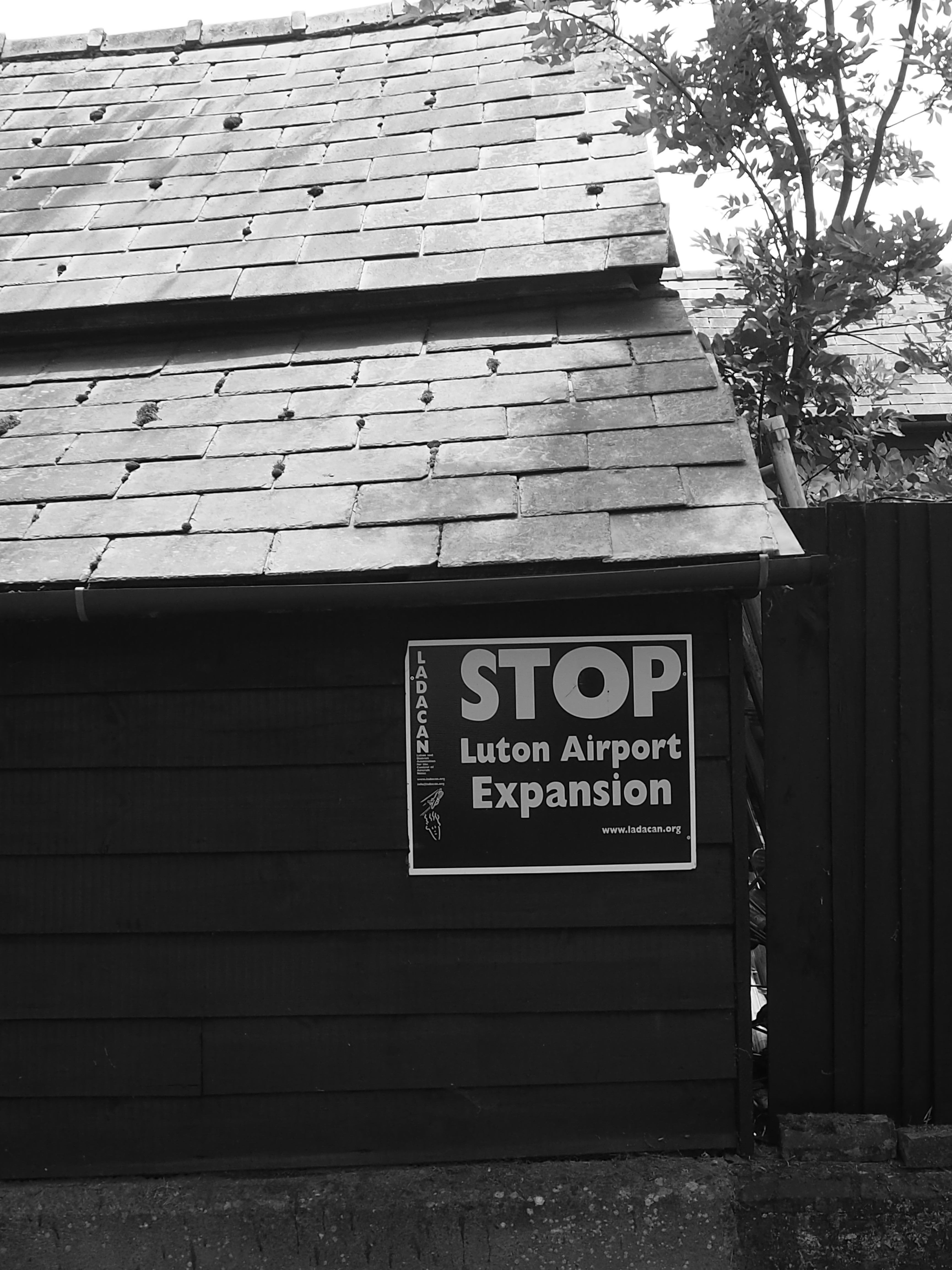
In ‘normal’ times, planes loom over the village on their way in or out of Luton Airport, which lurks just a mile or two away across the field. Breachwood Green is one of the villages endangered by airport expansion plans.
The village migrated a mile or so from its original site, so the location of the original green isn’t obvious. A little to the north of the current village with its primary school, chapel and just the one pub is the early 20th century collection of houses known as The Heath, and just down a track from there is an old tower mill, now converted into a house. It looks over the bottom and the skies around it are filled with buzzards and kites on a good day.
Hitchin comedian Paul B Edwards put Breachwood Green on the metaphorical map with a song. Judge its virtues or otherwise for yourself.
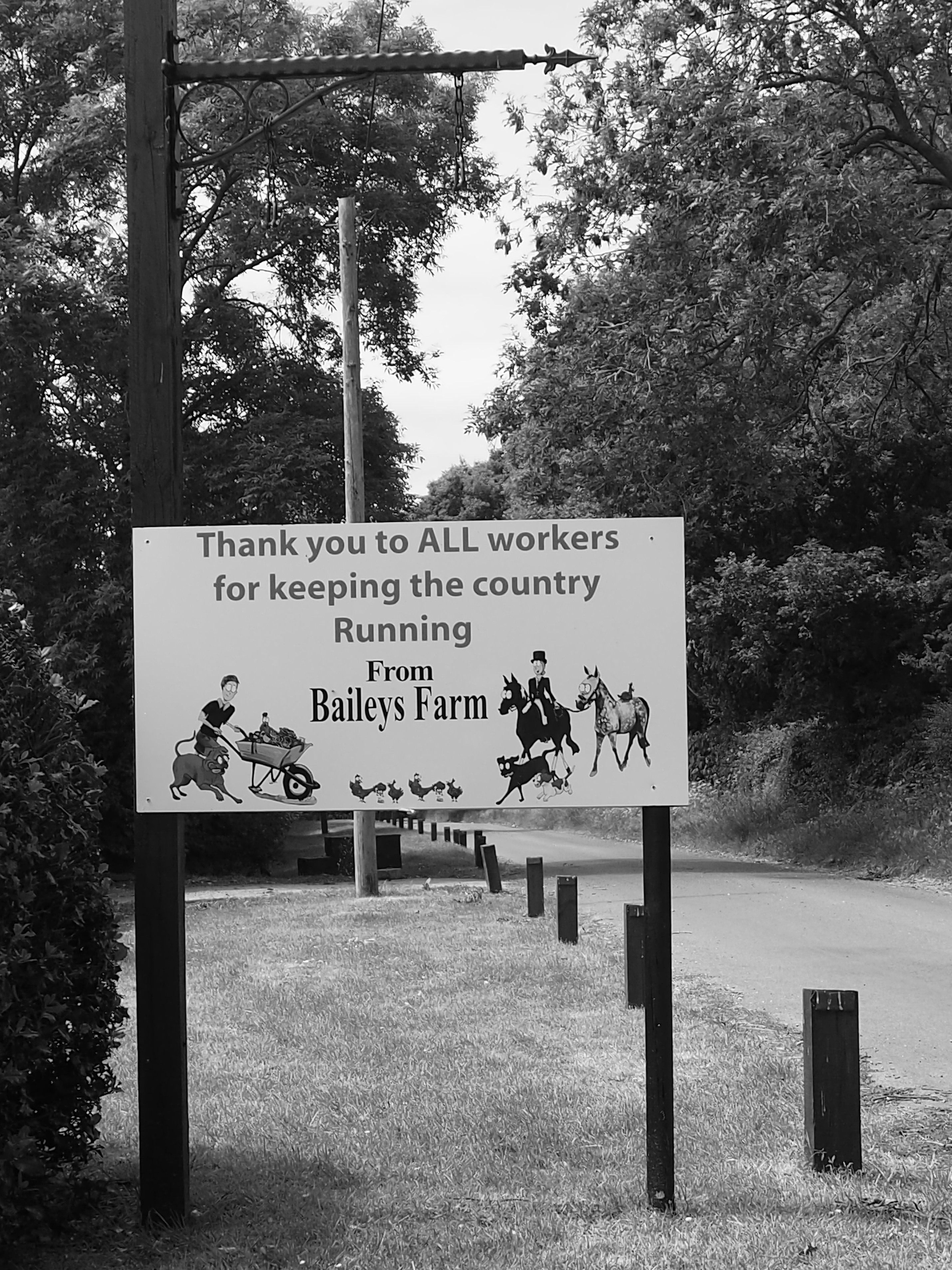
When we walked by, Bailey’s Farm had some topical messages and some fowl you don’t see in every farmyard.

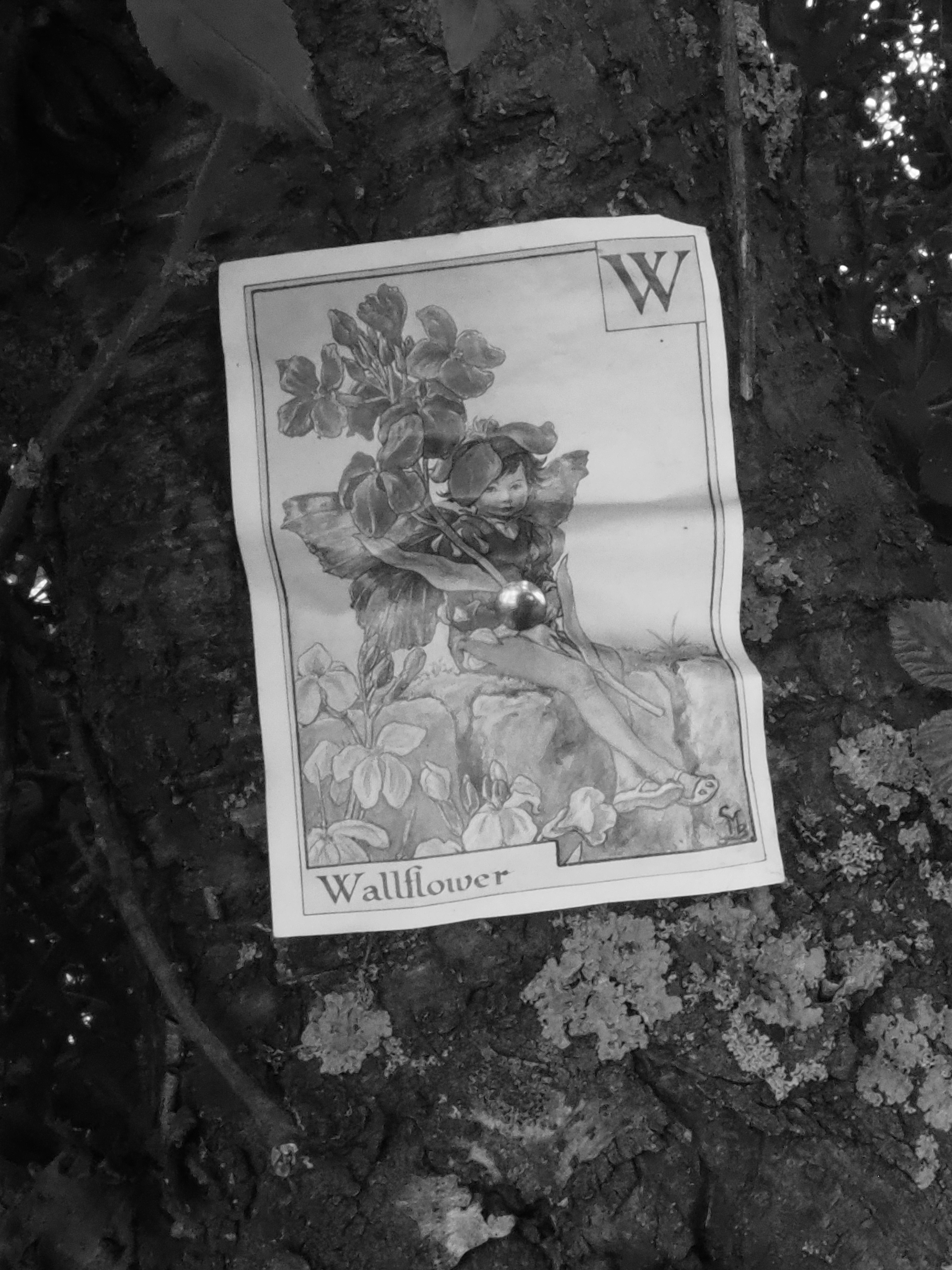
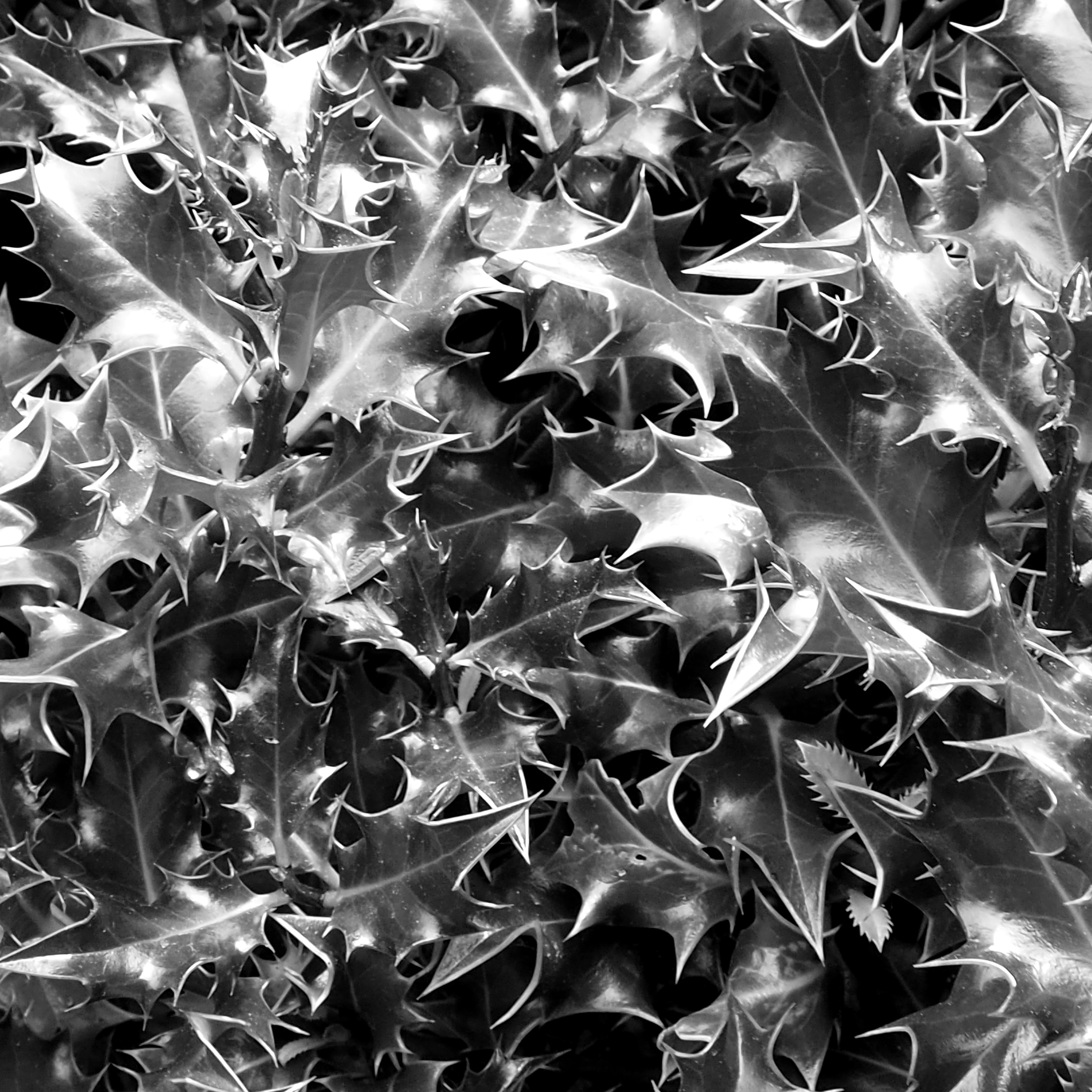
Joined at the hip to Breachwood Green is Colemans Green (not to be confused with Coleman Green, the subject of a previous post). The green is surrounded by footpaths and the few farm houses and cottages lie along a winding lane with much holly in the hedge.